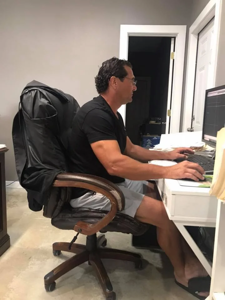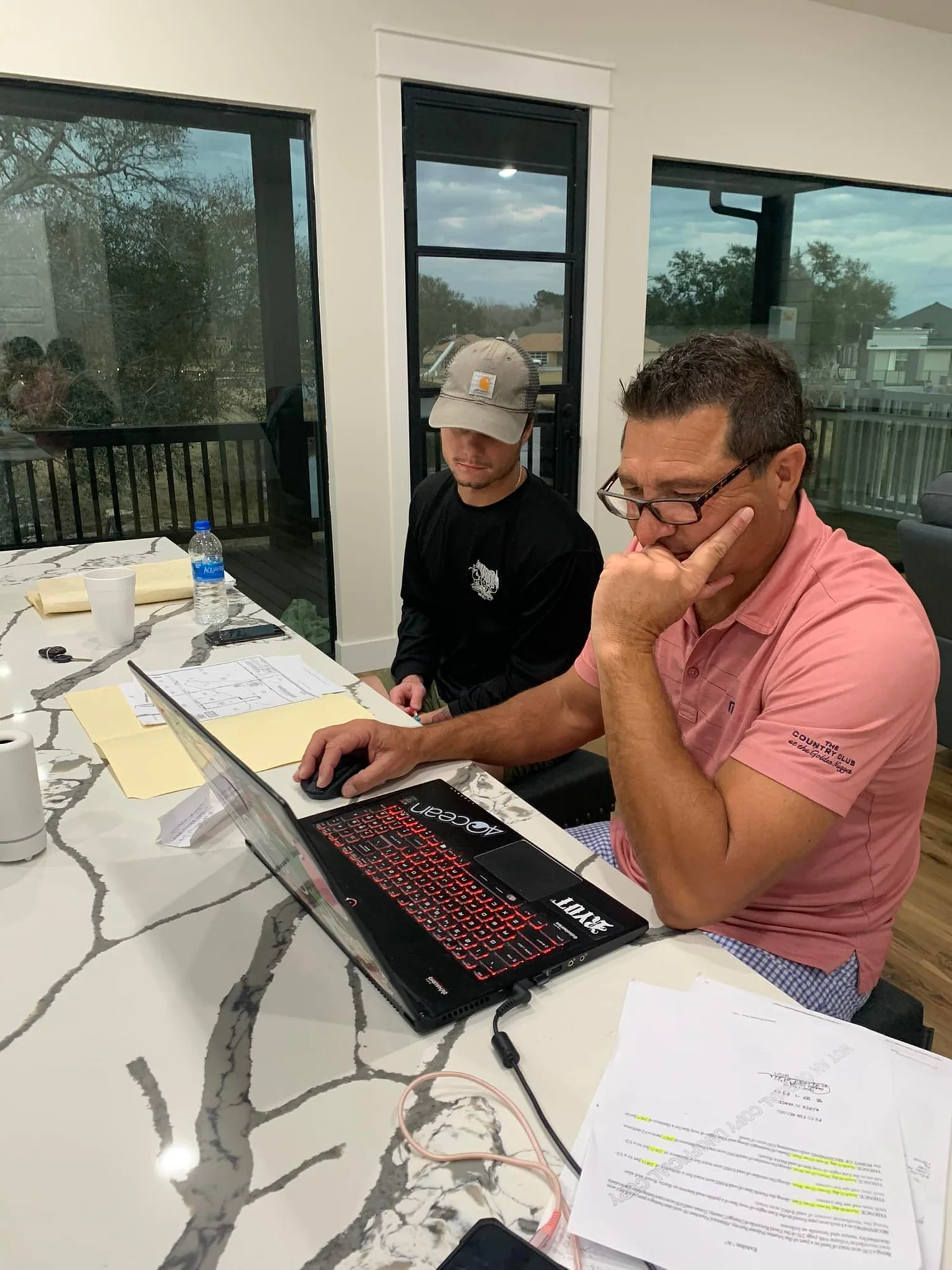
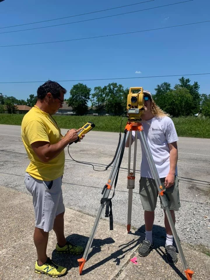
Boundary Surveys
Understand documented property boundaries before making your next move.
COMMON APPLICATIONSProperty transactions · Fences and improvements · Existing property corners · Land ownership questions
EXPLORE THIS SERVICEComprehensive surveying and land development services for residential, commercial, and light-industrial projects throughout Texas.
REQUEST A QUOTE
Choose a service to learn how the surveying process works, what details help us prepare a quote, and which types of projects it may support.

Understand documented property boundaries before making your next move.
COMMON APPLICATIONSProperty transactions · Fences and improvements · Existing property corners · Land ownership questions
EXPLORE THIS SERVICE
Terrain and elevation information to help guide smarter site decisions.
COMMON APPLICATIONSSite grading concepts · Drainage evaluation · Engineering coordination · Existing-conditions planning
EXPLORE THIS SERVICE
Layout support that connects approved project plans to real ground conditions.
COMMON APPLICATIONSBuilding and site layouts · Reference points and offsets · Construction coordination · Field measurement checks
EXPLORE THIS SERVICE
Measured elevation information for floodplain and property documentation needs.
COMMON APPLICATIONSFloodplain-related records · Insurance inquiries · Building elevation information · Permit discussions
EXPLORE THIS SERVICE
Thoughtfully prepared drawings, exhibits, and records built around reliable field information.
COMMON APPLICATIONSSurvey plats and exhibits · Existing-conditions drawings · Property documentation · Project coordination
EXPLORE THIS SERVICE
Surveying and drafting support for projects moving from an idea to a buildable plan.
COMMON APPLICATIONSResidential tract planning · Subdivision survey support · Commercial and light-industrial site coordination · Development documentation
EXPLORE THIS SERVICE